Misc activities
Total Distance 58.8 km
Total Elevation Gain 4735 m
Total Moving Time 13.9 hrs
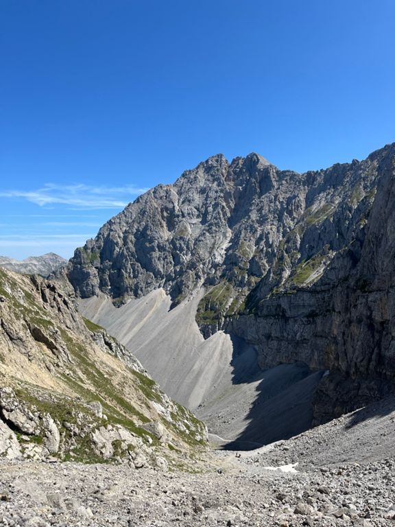
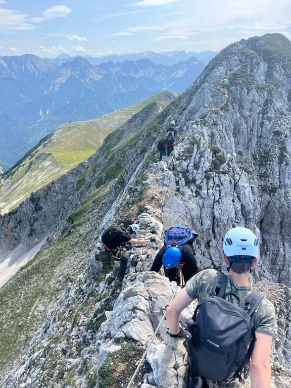
Mittenwalder höhenweg via ferrata
2026-07-25  23 km
23 km  1856 m
  6:12:29
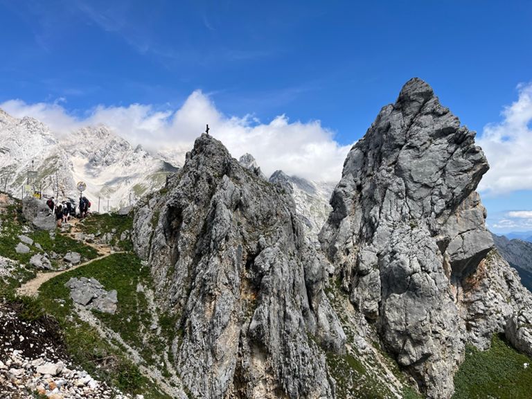
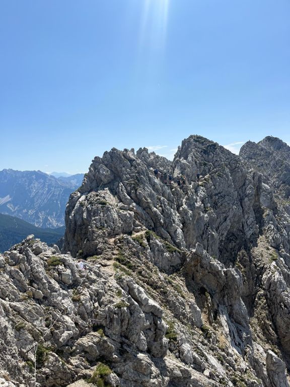
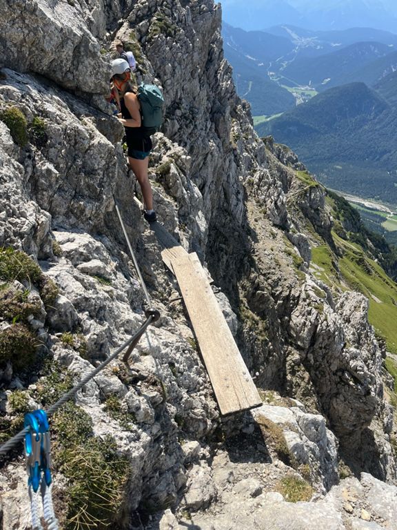
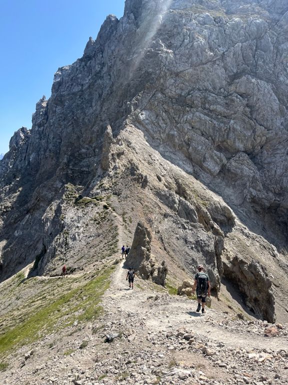
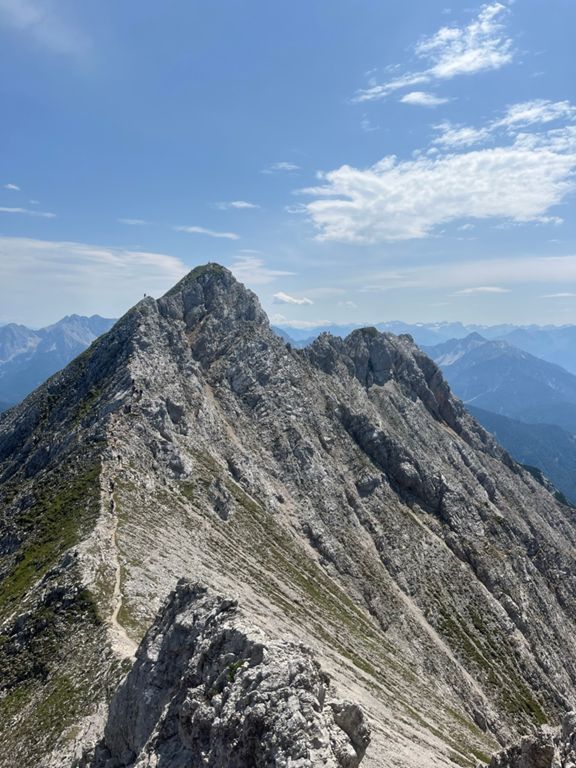
23 km 6:12:29 Steep 1400m climb up, then 4km of ridge with a few exposed sections, then very steep down.
Not sure I like via ferrata. Nice views but it’s steep and slow, some parts are a bit sketchy and you have to trust whoever attached those wires to the mountain… Also, I can’t imagine it being very fun to be saved by the safety gear when you fall even if you survive…
⛰️ Westliches Kirchl (2,241 m) • ⛰️ Westliche Karwendelspitze (2,385 m) • ⛰️ Nördliche Linderspitze (2,372 m) • ⛰️ Mittlere Linderspitze (2,239 m) • ⛰️ Südliche Linderspitze (2,304 m) • ⛰️ Gamsangerl (2,188 m) • ⛰️ Sulzleklammspitze (2,321 m) • ⛰️ Kirchlespitze (2,301 m) • ⛰️ Brunnsteinanger (2,095 m) • ⛰️ Rotwandlspitze (2,192 m) • ⛰️ Brunnsteinspitze (2,180 m) • ⛰️ Brunnsteinkopf (1,924 m) | 🌐 summitbag.com
Zugspitze
2026-08-23 35 km 2879 m 7:43:02
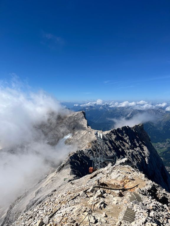
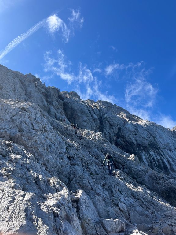
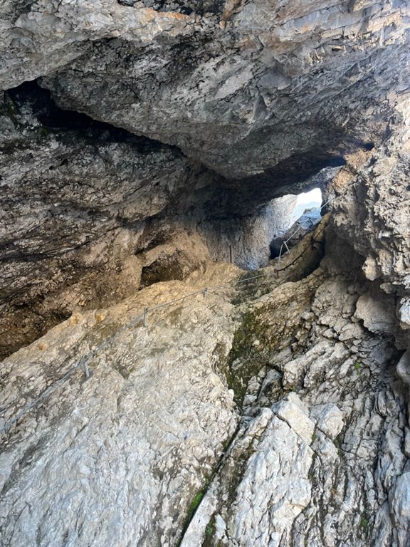
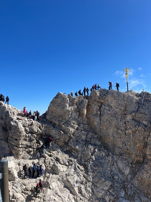
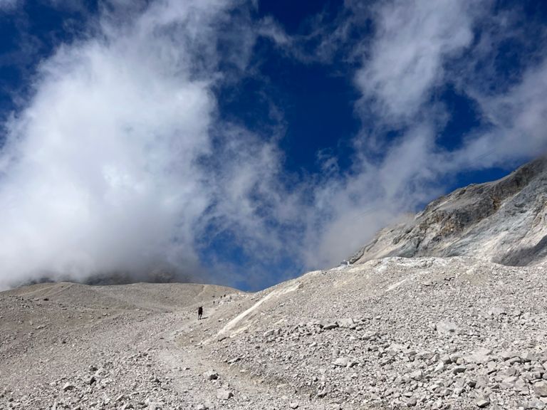
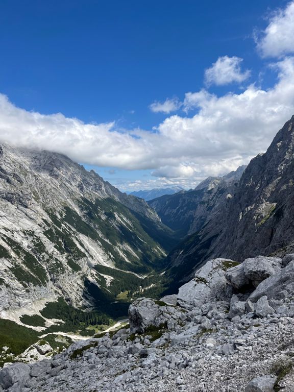
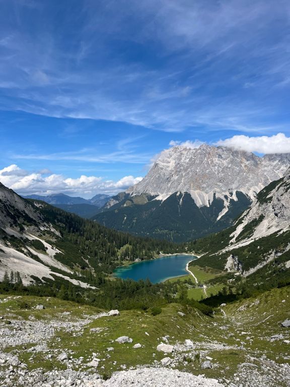
35 km 7:43:02 Took the klettersteig from Ehrwald, so I reached the peak after only 8.5km (and 2000m elevation gain). The path down across Gatterln was less steep, took the detour past Seebensee lake too.
https://www.alpine-bergtouren.de/home/webpages/lima-city/av-web/www/alpine_bergtouren_de/touren/bergtour-zugspitze-ehrwald-stopselzieher-klettersteig.php
⛰️ Zugspitze (2,962 m) • ⛰️ Gatterl (2,024 m) • ⛰️ Feldernjöchl (2,045 m) • ⛰️ Am Brand (2,116 m) • ⛰️ Biberwierer Scharte (2,000 m) | 🌐 summitbag.com